Log in
All resources
Create a design
1,096,326 Free Images of Maps Of Mannheim
maps made in the 17th century
maps by pieter schenk (i)
gerard valck
atlantis magni tomus tertius (biblioteca comunale di trento)
atlantis magni tomus secundus (biblioteca comunale di trento)
fonds ancely - bibliothèque municipale de toulouse - maps
hand-drawn maps and views of world war i battlefields by h.m.
atlantis magni tomus quintus (biblioteca comunale di trento)
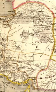
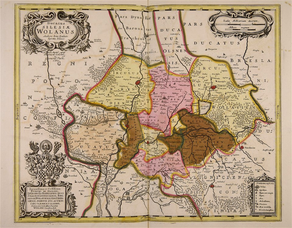
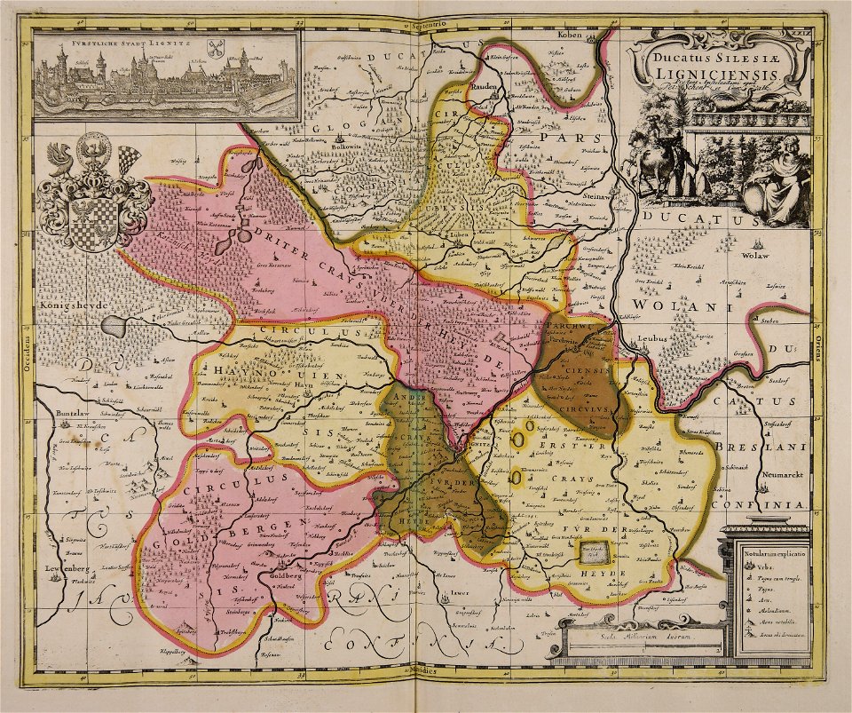
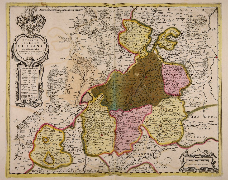
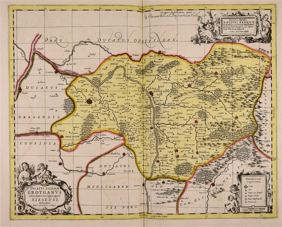
old maps of silesia
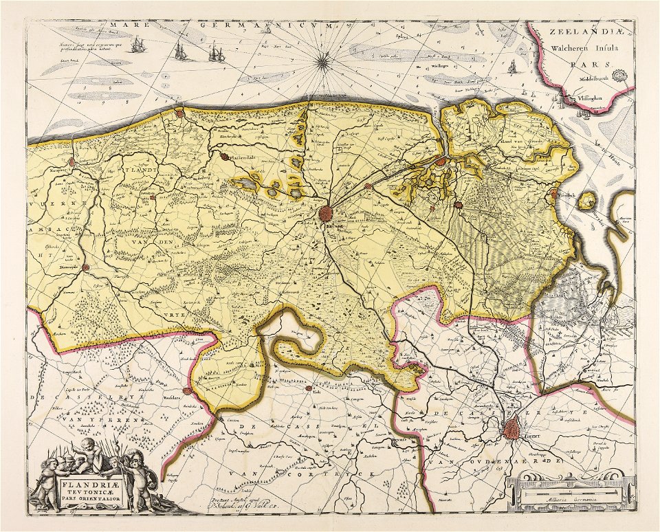
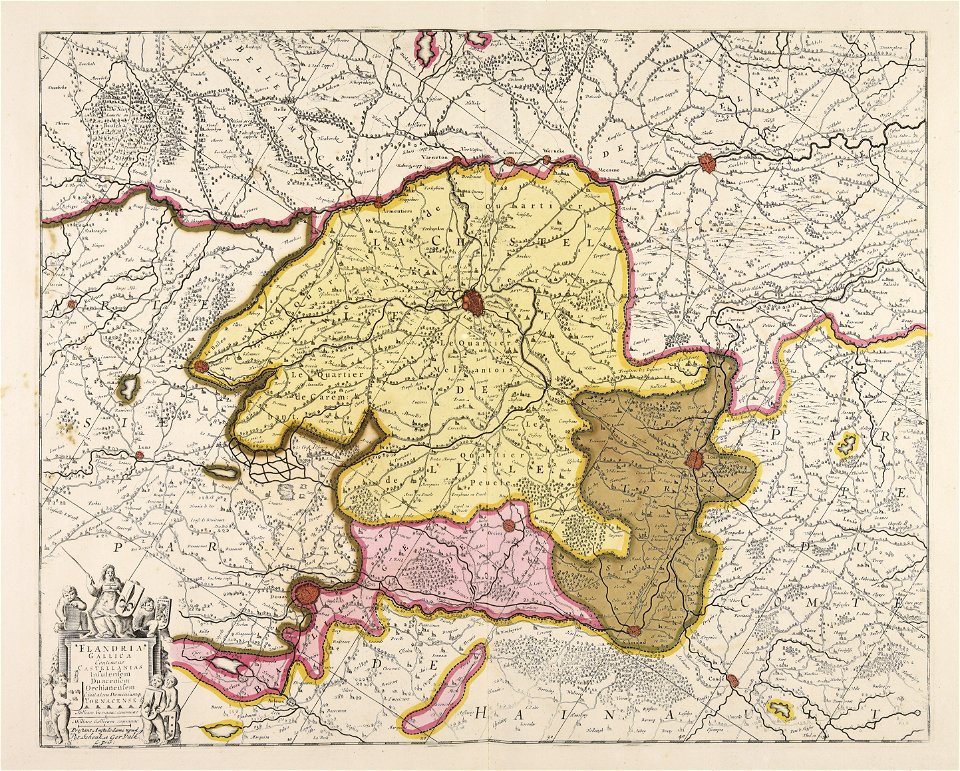
old maps of flanders
old maps of scandinavia
johannes ratelband
charts and maps of the royal museums greenwich
1682 maps
maps by willem and johannes blaeu
copper engraving
1540s maps of the world
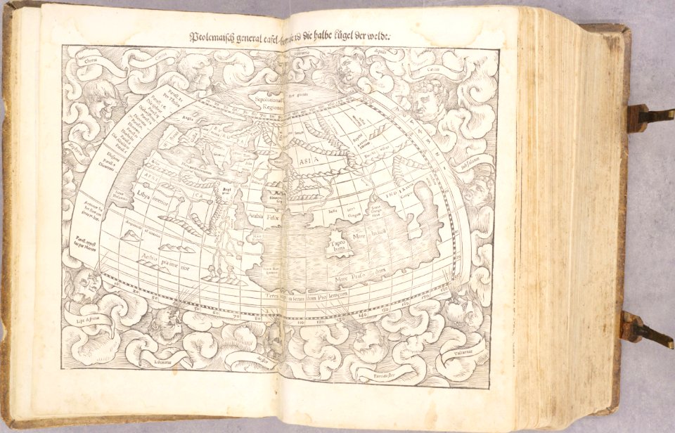
ptolemaic world maps
maps and topographical views by joris hoefnagel
engravings in the museum plantin-moretus
files from the bodleian libraries
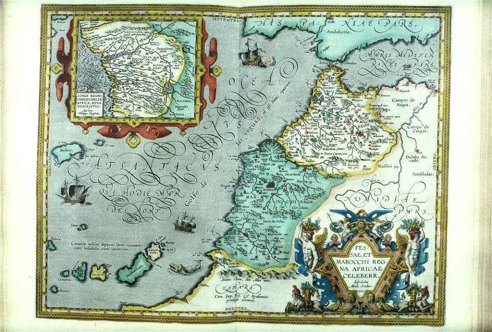
old maps of africa
fonds ancely - bibliothèque municipale de toulouse - maps
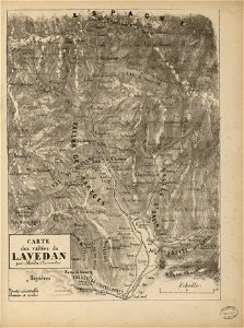
gustave bascle de lagrèze
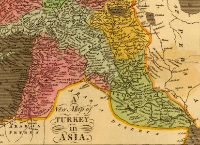
old maps of the middle east
jr
metropolitan improvements (1828) thomas hosmer shepherd
maps from the mechanical curator collection
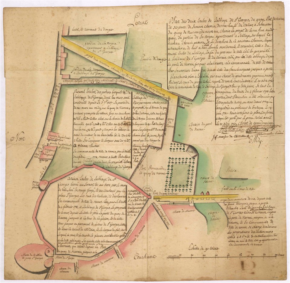
old maps of rennes
1780 maps
maps by willem and johannes blaeu
atlas van loon
1880 maps
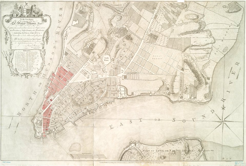
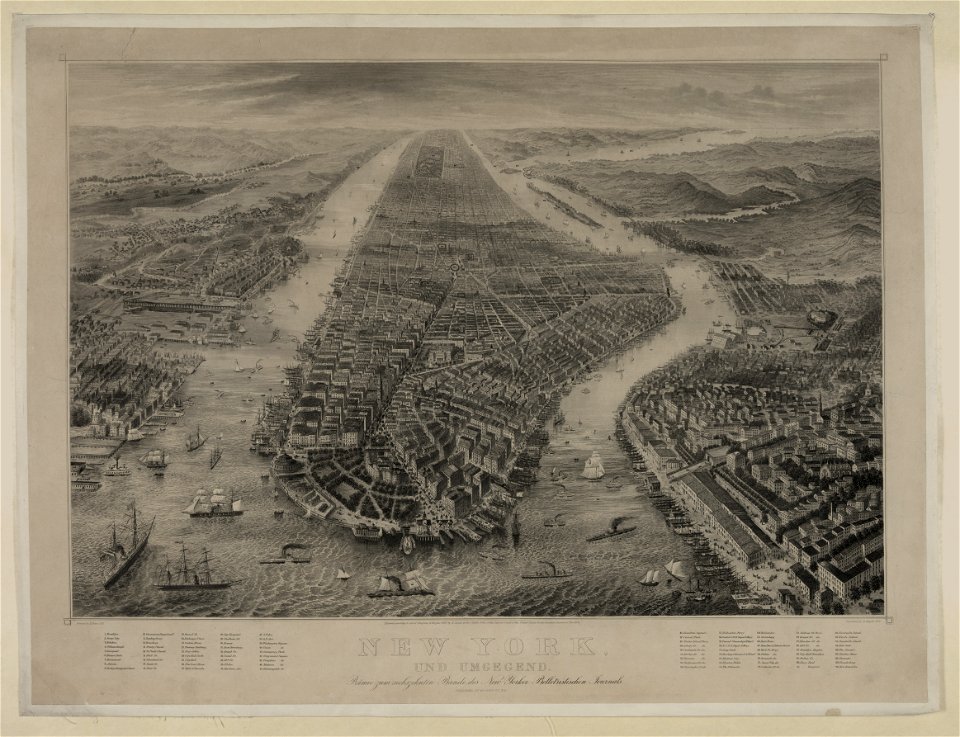
new york
cosmographia claudii ptolomaei alexandrini
ptolemy's 12th asian map
ptolemy's 3rd african map
latin-language maps
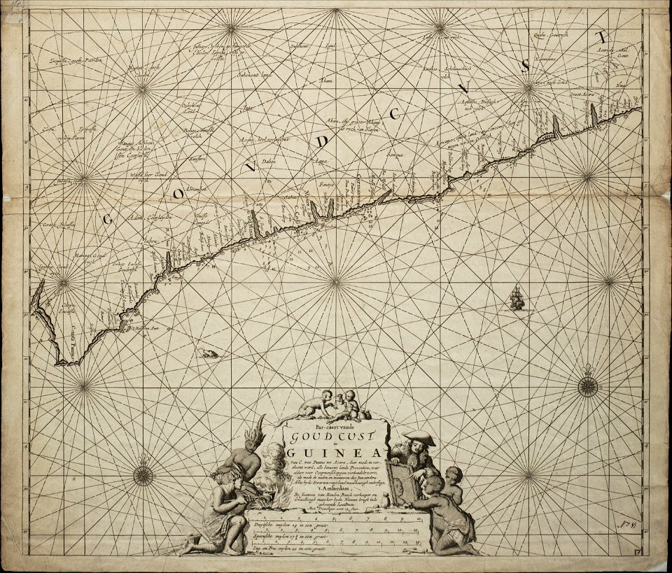
old maps of the dutch gold coast
1859 maps
dutch 18th-century prints in the rijksmuseum amsterdam
maps of amsterdam
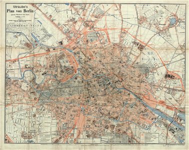
19th-century maps of berlin
1896 maps
david rumsey historical map collection
german-language maps
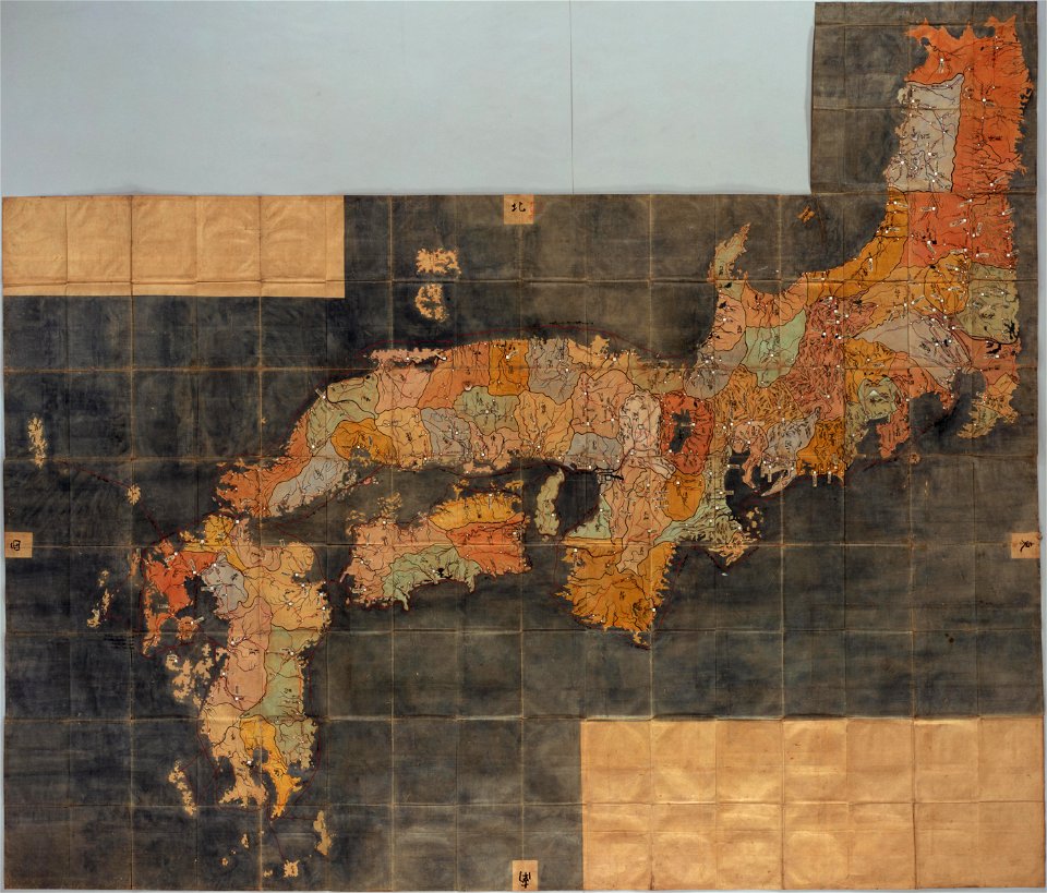
national diet library
keichō kuniezu
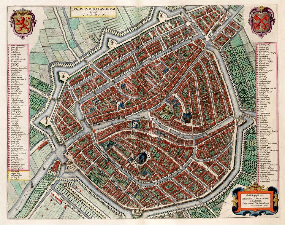
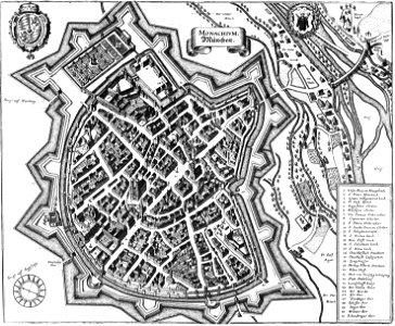
utrecht in the 17th century
maps
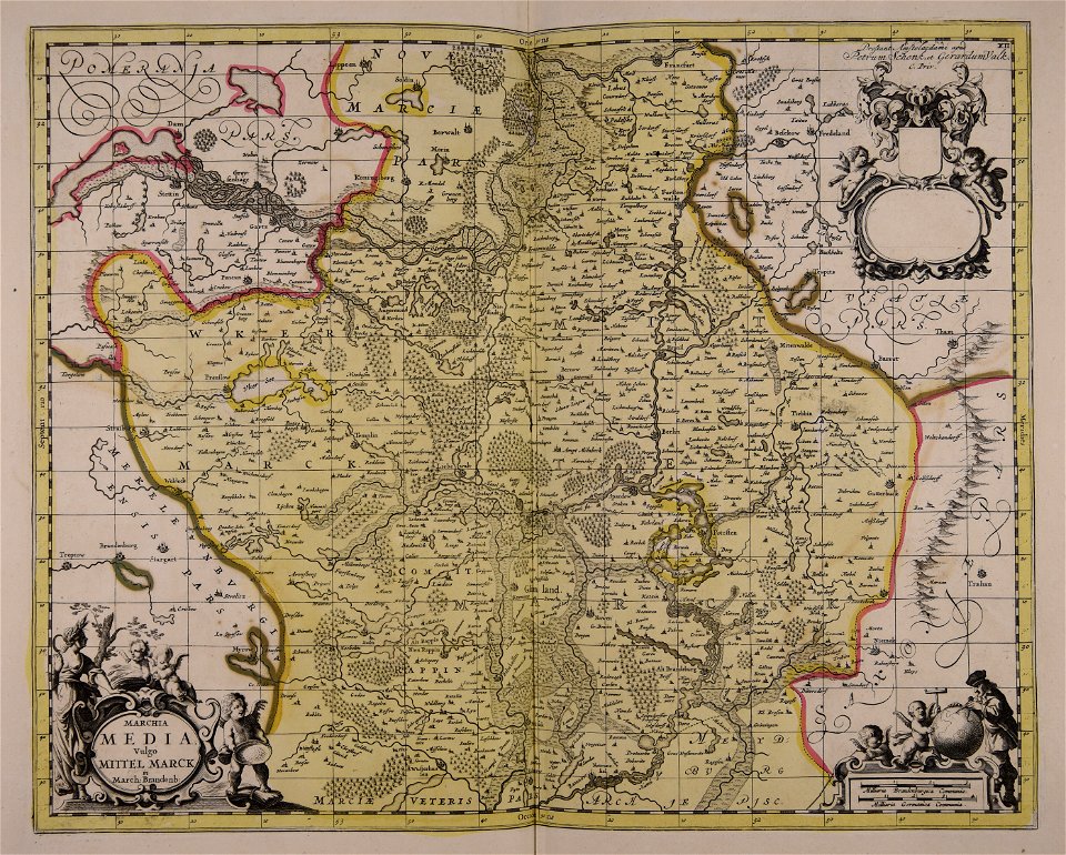
maps made in the 17th century
gerard valck
maps made in the 17th century
gerard valck
maps made in the 17th century
gerard valck
maps made in the 17th century
gerard valck
atlas van der hagen (volume 4)
maps with cartouches
maps made in the 17th century
gerard valck
maps made in the 17th century
gerard valck
maps made in the 17th century
gerard valck
old maps of silesia
gerard valck
old maps of silesia
gerard valck
old maps of silesia
gerard valck
maps made in the 17th century
gerard valck
old maps of silesia
gerard valck
maps made in the 17th century
gerard valck
maps made in the 17th century
gerard valck
maps made in the 17th century
gerard valck
maps made in the 17th century
gerard valck
maps made in the 17th century
gerard valck
maps made in the 17th century
gerard valck
maps made in the 17th century
gerard valck
maps made in the 17th century
gerard valck
maps made in the 18th century
maps by pieter schenk (i)
maps made in the 17th century
gerard valck
maps made in the 17th century
gerard valck
maps made in the 17th century
gerard valck
old maps of the british isles
maps made in the 18th century
maps made in the 17th century
gerard valck
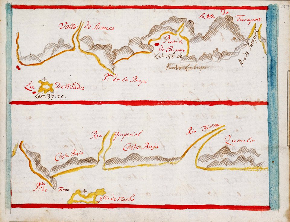
old maps of peru
gerard valck
old maps of silesia
gerard valck
old maps of styria
gerard valck
old maps of nuremberg
gerard valck
maps made in the 17th century
gerard valck
coats of arms of cities in vaucluse
works after joseph vernet
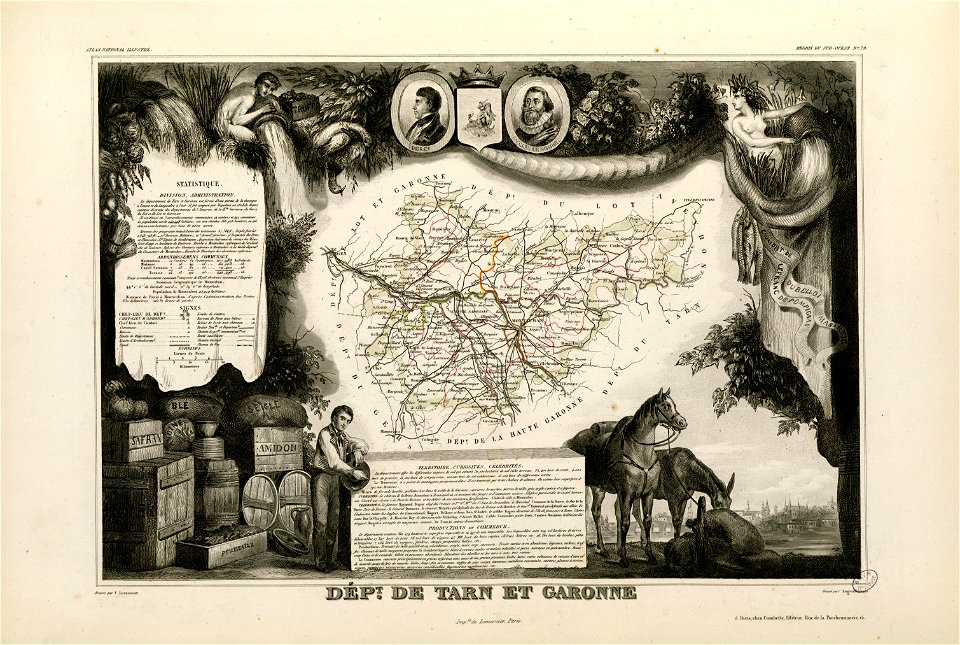
old maps of côte-d'or
lazare carnot
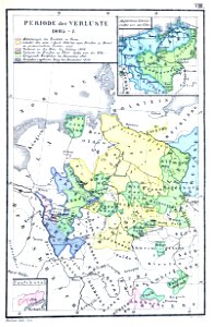
1867 engravings
new york city
circumvallatielinie (groenlo)
coats of arms on maps
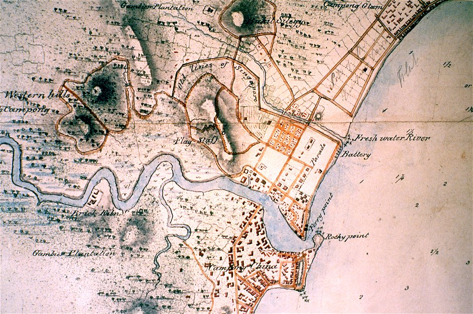
singapore river
singapore
maps made in the 17th century
cornelis danckerts (i)
fonds ancely - bibliothèque municipale de toulouse - maps
frédéric-auguste laguillermie
maps made in the 17th century
old maps of the world
maps made in the 17th century
gerard valck
fires in new york (state)
new york city
paleobiota of the garita creek formation
ceratodus life restorations
old manuscript maps
pictorial maps
maps from the mechanical curator collection
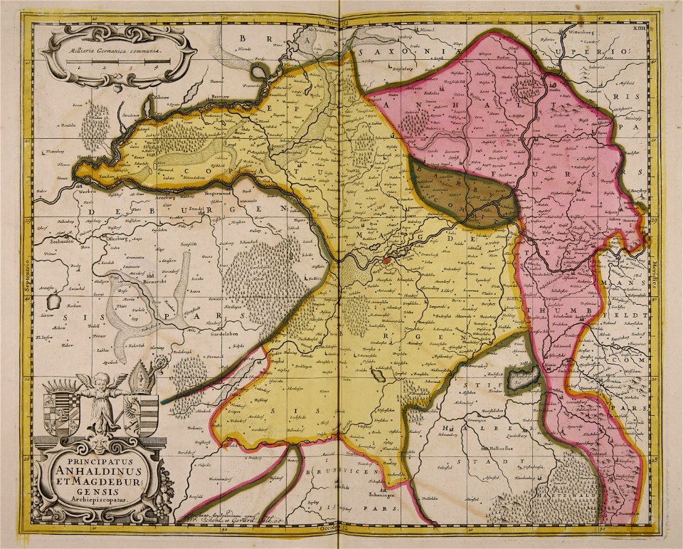
old maps of prussia
cornell university library
1888 maps
maps from the mechanical curator collection
000
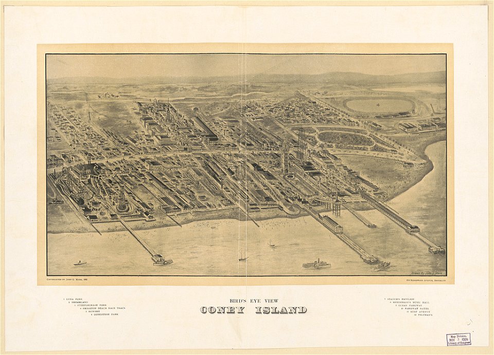
coney island
brooklyn
atlas van der hagen
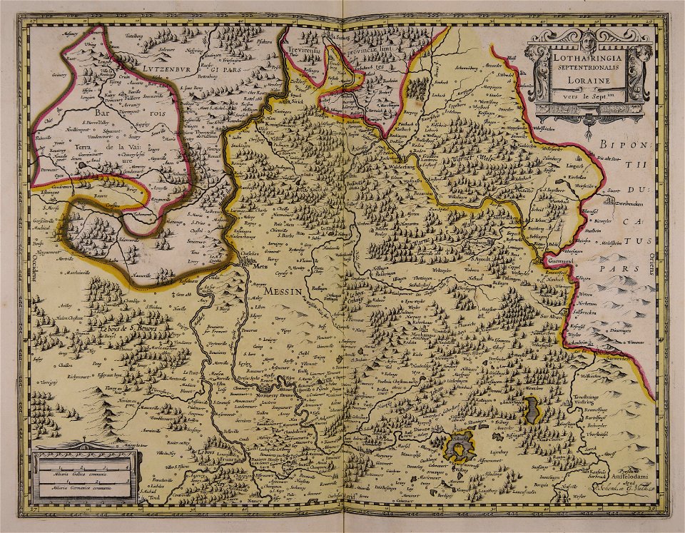
old maps of france
maps of reading abbey
reading
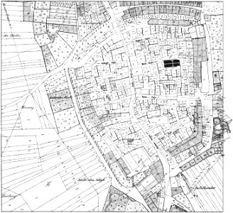
historical images of brackenheim
1835 maps
maps of the dutch east india company - indonesia
banda islands
maps of the west-indische compagnie
1745
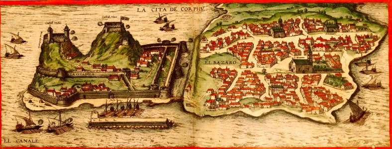
braun & hogenberg
ships on maps
atlantis magni tomus primus (biblioteca comunale di trento)
17th-century maps of sweden
charts and maps of the royal museums greenwich
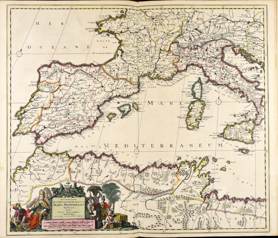
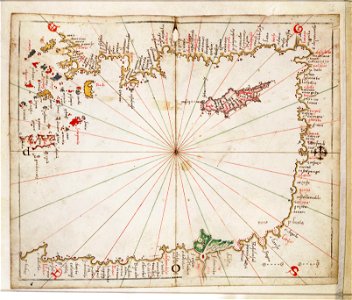
16th-century maps of the mediterranean sea
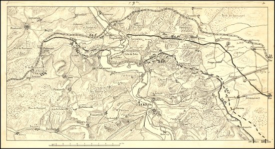
hand-drawn maps and views of world war i battlefields by h.m.
western front maps of world war i
hand-drawn maps and views of world war i battlefields by h.m.
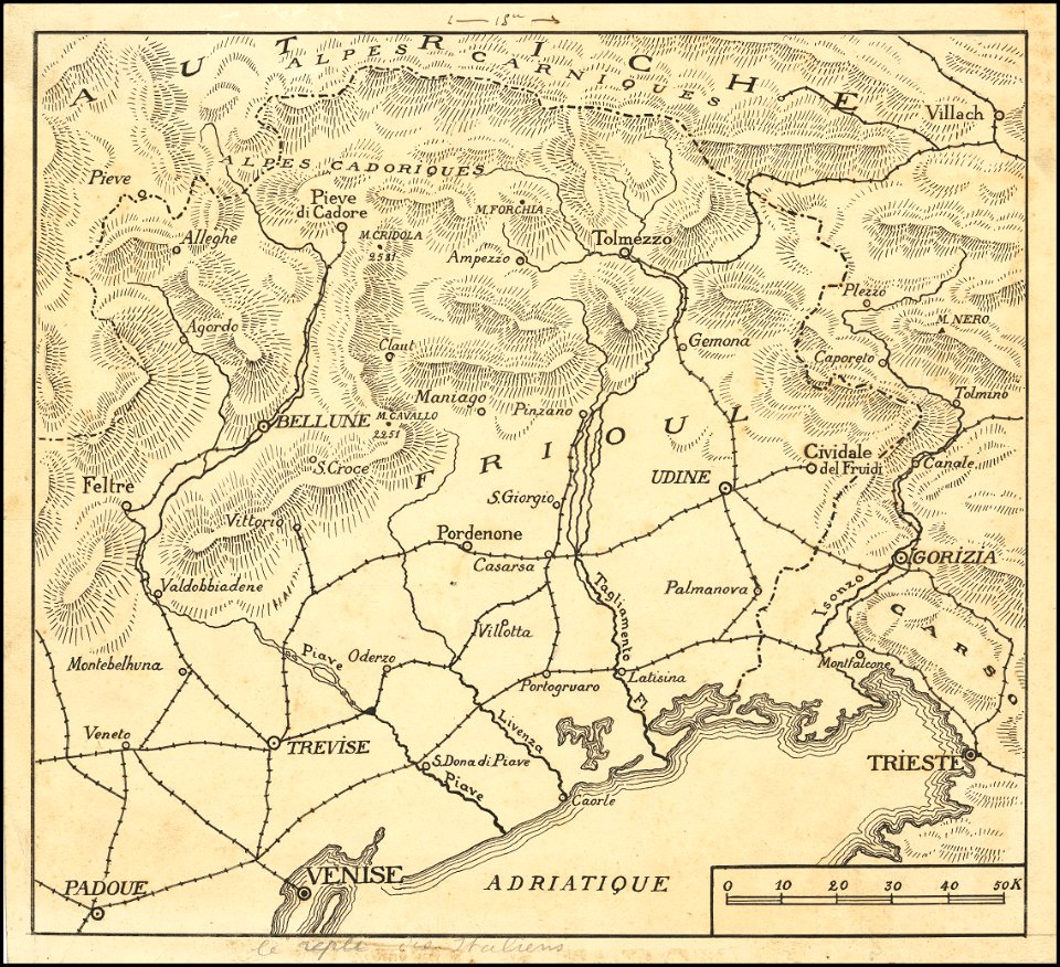
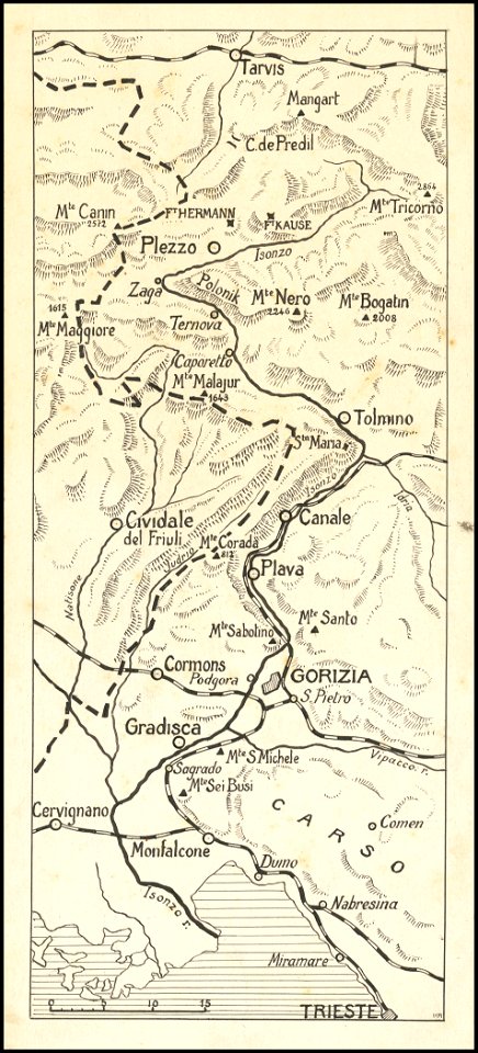
maps of world war i - italian front
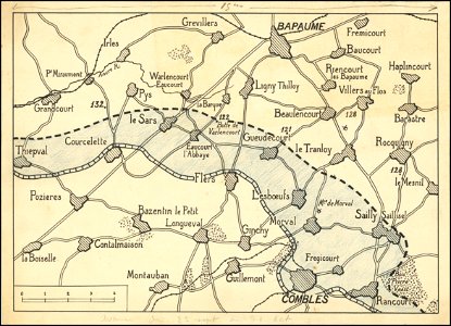
hand-drawn maps and views of world war i battlefields by h.m.
western front maps of world war i
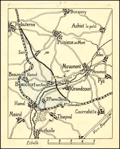
hand-drawn maps and views of world war i battlefields by h.m.
western front maps of world war i
hand-drawn maps and views of world war i battlefields by h.m.
western front maps of world war i
hand-drawn maps and views of world war i battlefields by h.m.
maps of world war i - italian front
engravings by matthäus merian
engraved maps
images from the john carter brown library
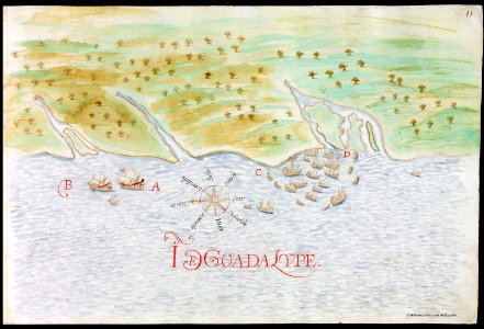
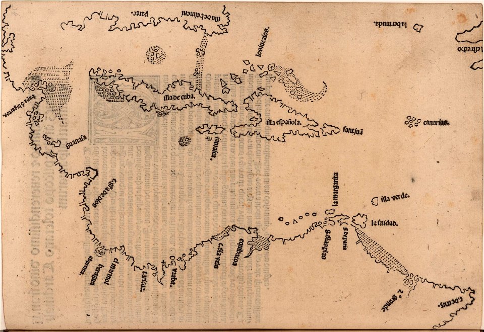
1510s maps of the caribbean
fonds ancely - bibliothèque municipale de toulouse - maps
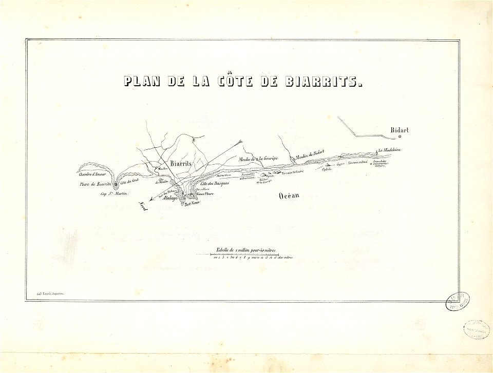
historical images of biarritz
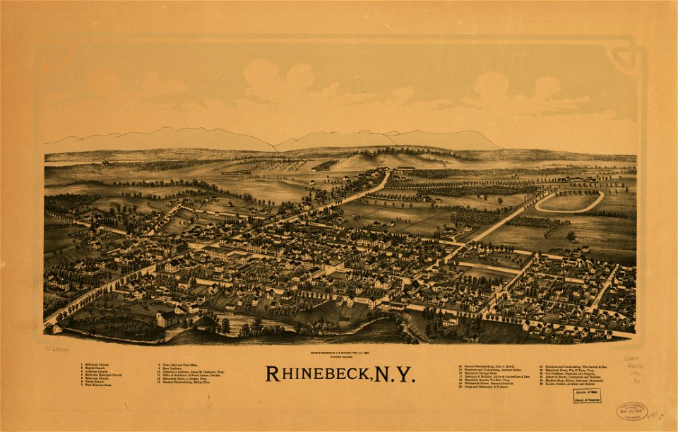
bird's eye view maps of new york city
1867 in new york city
maps in the library of congress
new york
historical images of lüneburg
maps by matthäus seutter
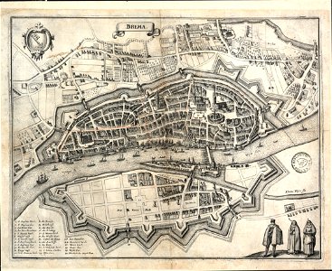
bremen in topographia saxoniae inferioris (merian)
old maps of bremen (state)
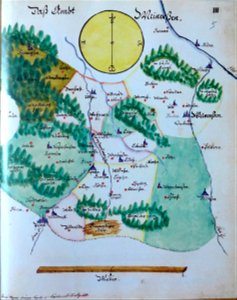
edemissen
meinersen
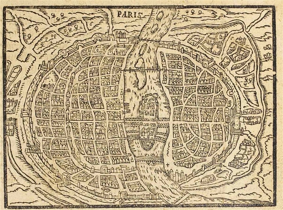
17th-century maps of paris
paris in the 16th century
18th-century maps of africa
engravings by jan luyken
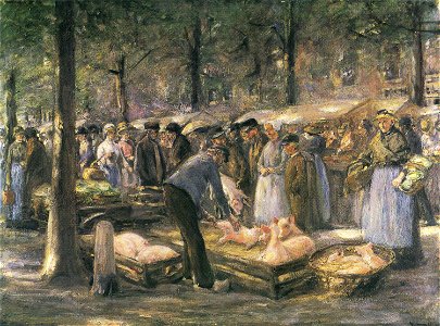
1890s paintings of people
paintings in haarlem
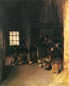
resting in art
seamen in art
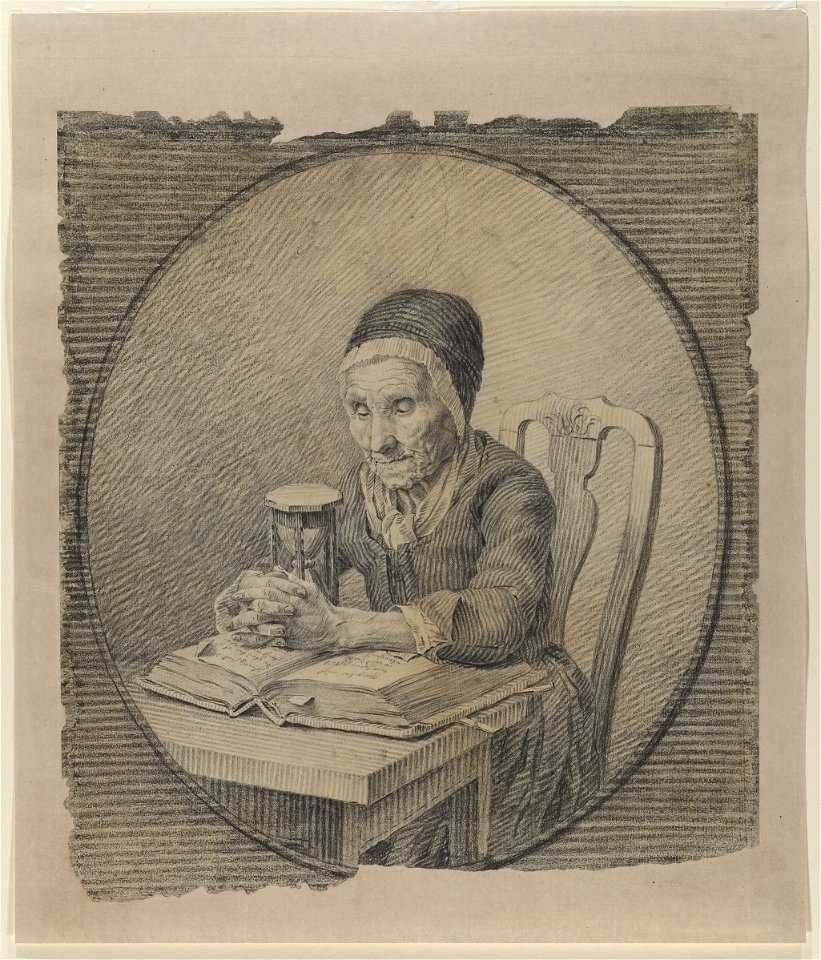
19th-century portrait drawings of women at bust length
19th-century drawings
arthur wellesley, duke of wellington (thomas lawrence - apsley house)
romanticism
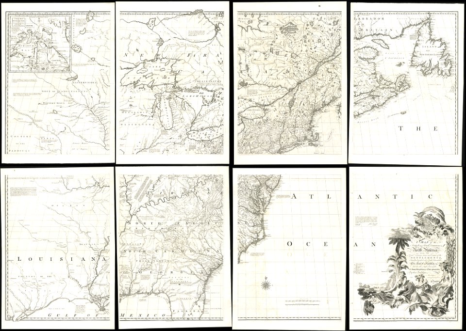
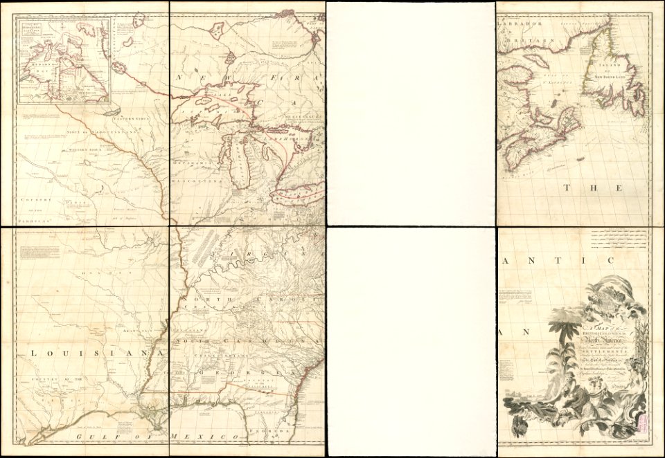
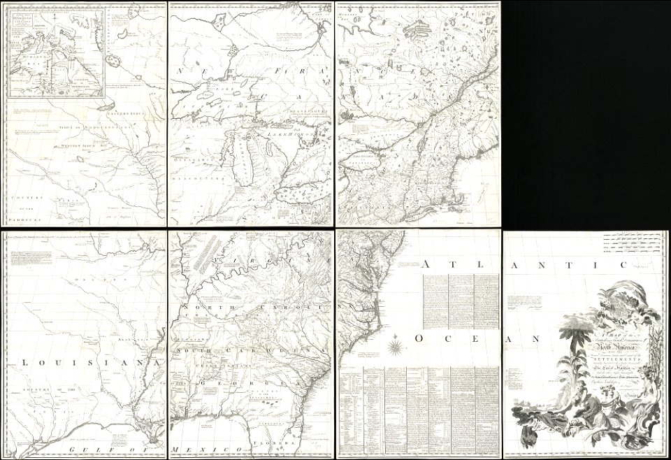
old maps of north america
1755 mitchell map
old maps of north america
1755 mitchell map
old maps of north america
1755 mitchell map
victor levasseur - maps of the world
historical images of arecaceae
4701 - 4800 of 1,096,326
Next page
/ 10964